Christchurch Earthquake Animated Map
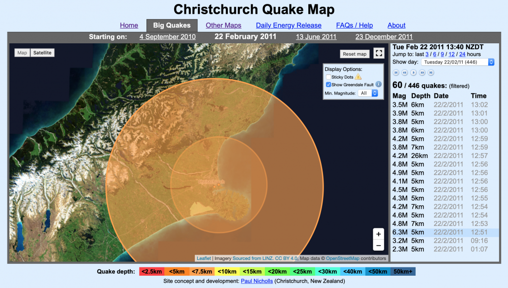
Christchurch earthquake map is a fantastic resource for illustrating the swarm of earthquakes that occurred on February 22nd 2011, when 185 people were killed as the result of a magnitude 6.3 quake.
To access the resources head over to the Christchurch earthquake map
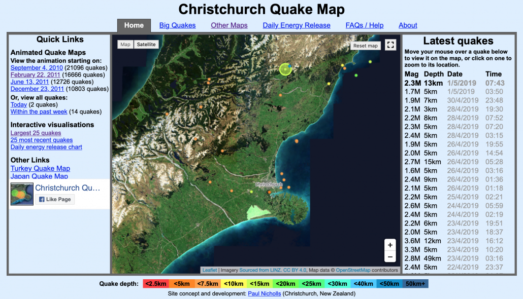
Christchurch Earthquake Animated Map
Next, click February 22, 2011 under quick links (on the left of the page). The animation will start automatically. The magnitude and depth of the earthquakes are illustrated using coloured proportional circles.
2011 Christchurch Earthquake Map
You can speed up and slow down the animation using the media controls to the top right of the page.
We’ve recently added Christchurch earthquake case study resources on Internet Geography.


Leave a Reply
Want to join the discussion?Feel free to contribute!