
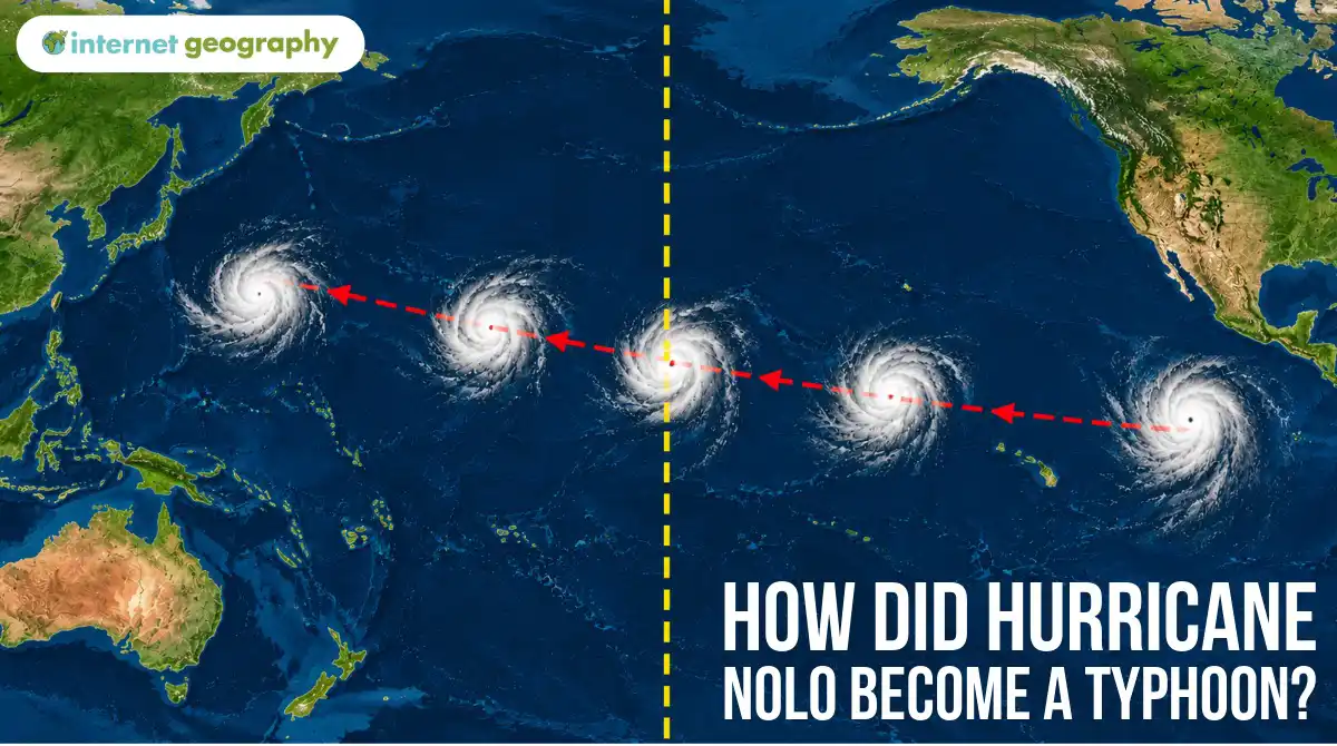
How did Hurricane Nolo become a typhoon?
Hurricane Nolo crossed the Pacific Ocean this week and, somewhere along the way, became Typhoon Nolo. Despite the new name, it was still the same storm.
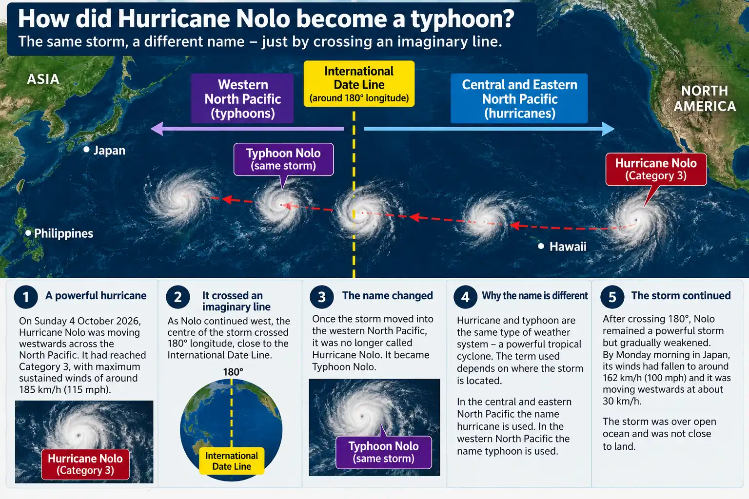
On Sunday 4 October, Nolo was heading west across the North Pacific. It had reached Category 3, with sustained winds of around 185 km/h (115 mph). The change came when the centre of the storm crossed 180° longitude and entered the western North Pacific.
Hurricane and typhoon are simply different names used for powerful tropical cyclones in different parts of the world. In the central and eastern North Pacific, a tropical cyclone with sustained winds of at least 119 km/h (74 mph) is called a hurricane. In the western North Pacific, the same type of storm is called a typhoon.
For Nolo, 180° longitude marked the change between the two regions. East of the line it was Hurricane Nolo; west of it, Typhoon Nolo.
Crossing the International Date Line
How did Hurricane Nolo become a typhoon?
The change occurred near the International Date Line. This runs through the Pacific, roughly following 180° longitude. On the other side of the Earth is the Prime Meridian at 0°, which passes through Greenwich in London.
Crossing the International Date Line means changing the date and moving from one side of the Pacific to the other. A traveller heading west adds a day. Someone travelling east goes back a day.
The line takes a strange route on a map. Instead of following 180° longitude from north to south, it bends around several countries and island groups. This avoids splitting them between two different dates.
The 180° line is also the boundary between two of the regions used to monitor tropical cyclones in the North Pacific. Once Nolo crossed it, responsibility for tracking the storm moved to forecasters covering the western North Pacific.
Where was Nolo heading?
Nolo remained a powerful storm after crossing the boundary, although it soon began to weaken. By Monday morning in Japan, its sustained winds had fallen from around 185 km/h to 162 km/h (100 mph). It moved west at about 30 km/h.
There was no immediate threat to a large population because the typhoon was still over open ocean. Forecasts showed it continuing westwards and losing strength.
This was not the first change in Nolo’s fortunes. Earlier in its journey, it had passed close to Hawaii and weakened into a tropical storm. Conditions later allowed it to strengthen again and regain hurricane status as it travelled farther west.
Its eventual change from hurricane to typhoon was different. That change was about location, not strength. Had Nolo remained east of 180°, forecasters would have continued to describe it as a hurricane. Crossing into the western North Pacific meant forecasters changed the name to typhoon.