You are here:Home1/Topics2/The 1991 eruption of Mount Pinatubo
The 1991 eruption of Mount Pinatubo
The 1991 eruption of Mount Pinatubo
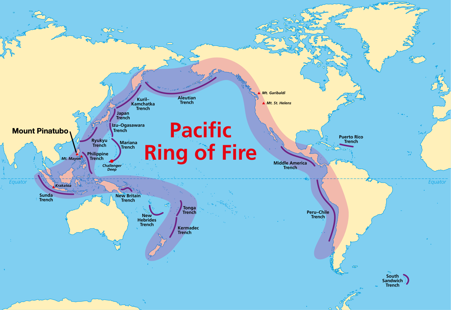
Situated on the island of Luzon, Philippines, Mount Pinatubo is a composite volcano located in the Zambales Range, 80km (50 miles) north of Manila, the capital of the Philippines.
A map to show the location of Mount Pinatubo
The Eurasian Plate is slowly subducting beneath the Philippines Plate, causing magma to build up below the surface. After more than 600 years of inactivity, Mt Pinatubo erupted on 12 June 1991, causing mass devastation.
An explosive eruption was caused by the andesitic lava, which is thick and contains toxic gases. Ash and steam were sent 30km into the atmosphere, and a fast-moving cloud of burning gases called a pyroclastic flow, travelled at speeds of more than 200km per hour from the crater.
While prediction, monitoring, and advanced warning allowed thousands to be evacuated, the eruption still caused devastating damage.
Primary Impacts:
847 people were killed by the pyroclastic flows and falling ash.
Rescue operations were slowed due to falling ash.
5000 homes destroyed and 70,000 buildings damaged.
Typhoon Yunya hit the Philippines at the same time as the eruption, causing ash to fall as mud, leading to buildings collapsing due to the weight.
Large-scale displacement of people to shanty towns on the edge of Manila or to evacuation camps increased the risk of disease.
Critical infrastructure was damaged, including water and power supply, bridges and roads, hampering the relief effort.
Secondary Impacts:
Heavy rain from Typhoon Yunya caused devastating Lahars up to 3m in height when mixed with the ash.
Ash covered 800km² of rice fields, destroying crops, and 800,000 farm animals were killed, costing farmers 1.5billion Pesos.
Hundreds of evacuated people died from diseases that spread through the camps, in particular from measles, pneumonia and diarrhoea.
After winds dispersed the gas cloud containing 10 million tonnes of sulphur dioxide between 1991 and 1993, global temperatures dropped by 0.5°C.
The US Air Force base at Pinatubo closed after many buildings were damaged, causing thousands of job losses and impacting the local economy.
Response and management of Mt Pinatubo
There was an indication that Mt Pinatubo was preparing to erupt; as a result, the Philippine government took steps to predict the eruption.
The seismologists at the Philippine Institute of Volcanology and Seismology (PHIVOLCS) detected swarms of earthquakes beneath the volcano, between March & June 1991.
Tiltmeters allowed scientists to monitor the rising magma beneath the volcano.
Sulphur gas was monitored by flying helicopters over the crater daily.
To help build an evacuation plan, scientists studied lahar deposits from previous eruptions to decide which areas to evacuate in the event of an eruption.
When it was clear that an eruption was imminent, the government arranged for people to be evacuated to camps, provided warnings and awareness of the risks, and vaccinated local people against flu and measles to reduce the risk of disease. After the initial eruption and the devastating Lahars, international emergency aid was provided.
Long-term responses
Since the eruption, the Luzon authorities have put in place long-term strategies to protect people and properties from future eruptions better. This included:
The creation of new towns and villages away from the high-risk areas protects vulnerable people.
Dykes and Dams reduce the risk of flash floods and lahars.
The building of new farms away from at-risk areas protects the food supply. The old US air base has also been converted into Clark International Airport, providing tax-free trading opportunities to businesses, employing 47,000 people, and providing a boost to the local economy.
Related Topics
Use the images below to explore related GeoTopics.