
Planning for tropical storms
Tropical storms are unpredictable natural hazards; however, several strategies are used to reduce their risk.
Monitoring and prediction
Satellite and radar technology are used to track the development and approach of a tropical storm. These, combined with weather charts and computer software, are used to predict the path a tropical storm could take.
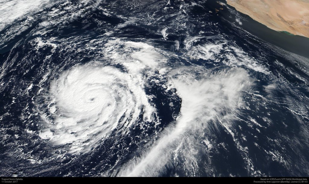
Satellite image technology is used to monitor and predict tropical storms.
High-income countries (HICs), such as the USA, have an effective hurricane monitoring and prediction system. This is because they have the finances available to invest in these systems. All tropical storm activity over the Atlantic and Eastern Pacific is tracked by the National Hurricane Centre, located in Florida. As a result, a hurricane watch is issued when hurricane-strength winds are detected to alert people and give them time to prepare. The National Weather Service publicises this information.
Low-income countries are often less prepared for tropical storms. This is because monitoring equipment is expensive, and they may not have the ability to communicate information to people likely to be affected.
Protection
One of the most reliable methods of reducing life loss during a tropical storm is the use of storm shelters. They are strong enough to withstand hurricane-force winds because they:
- have windows covered with metal shutters;
- are often built off the ground with deep-pile concrete pillars that dissipate energy;
- are made from reinforced concrete.
High sea walls are also constructed along the coast to protect communities from storm surges.
Planning
Preparation is essential in reducing the impacts of tropical storms. People who live in areas prone to tropical storms are advised to stock up on food and water, as they may be housebound for several days following a storm. Governments and NGOs, such as the Red Cross, advise people on preparing for and responding to tropical storms. Early warning systems are installed in countries such as Bangladesh, helping to reduce the number of deaths.