What is the long profile of a river?
The long profile shows the gradient of a river as it journeys from source to mouth. It spans the source of a river (where it starts) and the mouth (where it reaches the sea).
The long profile of a river is a way of displaying the channel slope (gradient) of a river along its entire length. Therefore, it illustrates how a river loses height with increasing distance from the source towards the sea. A river attempts to achieve a smooth curve to reach its base level at sea; this is known as a graded long profile. The diagram below illustrates the long profile of a river. Notice how the gradient initially falls steeply, then becomes concave, and finally becomes almost flat.
As a river flows downstream from its source, the profile changes due to the interaction of the processes of erosion, transportation and deposition.
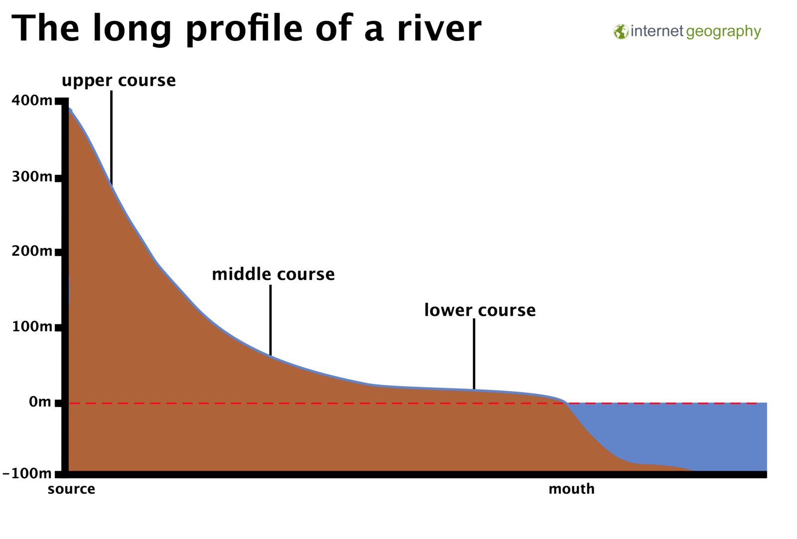
The long profile of a river
The diagram above shows how the long profile can be split into three courses based on the gradient.
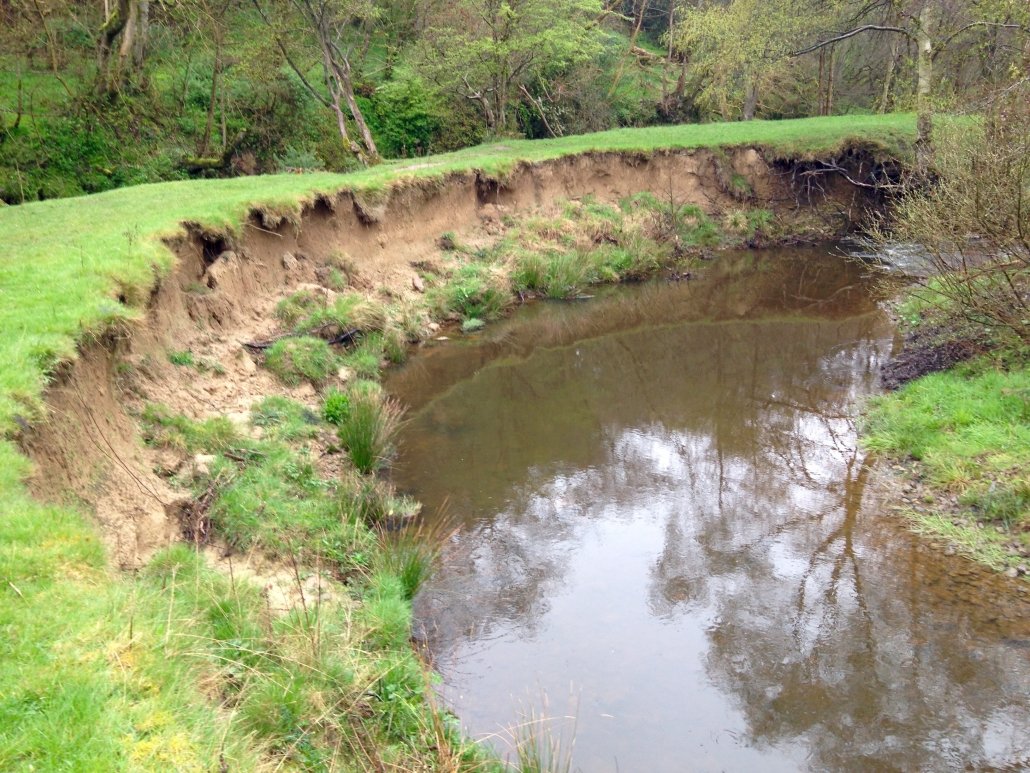
The upper course of a river is found in an area of high relief. The long profile starts at the source of the river. Water trickles from saturated land and merges to form a channel.
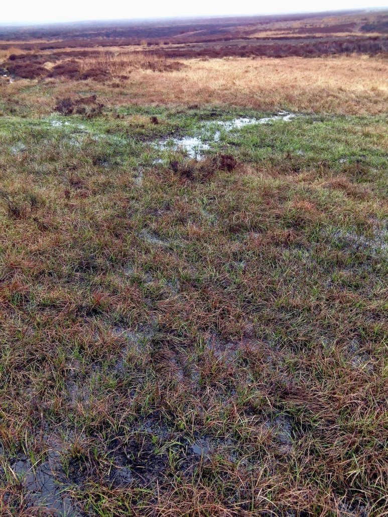
Source of a river
The channel then flows downwards following a steep gradient. The steep channel gives the river more potential energy. In the upper course, there may be rapids and waterfalls as the river flows through steep V-shaped valleys.
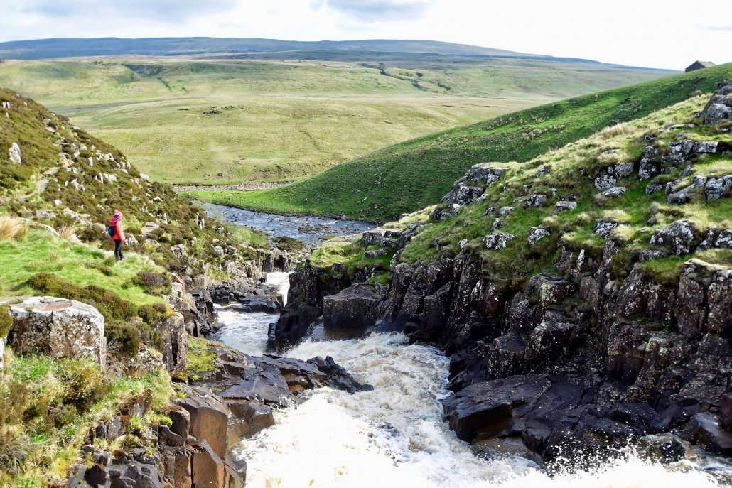
The upper course of a river with rapids as the river flows through steep V-shaped valleys.
Erosion
Erosion in the upper course of the river is mainly vertical by hydraulic action.
Transportation
Transportation mainly involves large boulders being moved by traction.
Deposition
Large boulders are deposited in the upper course of the river.
Why do discharge and velocity increase downstream?
The volume of water passing a given point on the river is known as its discharge. Discharge is measured in cubic metres per second (cumecs). To calculate discharge, use the formula:
Discharge = velocity x cross-sectional area
The discharge of a river increases along its course as tributaries join it, adding more water.
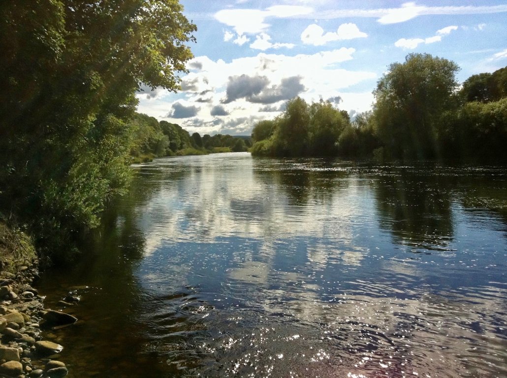
Velocity also increases along the course of a river. Even though the descent in the upper courses is steeper, the lower course has the greatest velocity. The reason for this is that velocity is influenced by the amount of water in contact with the bed and banks. The small channel in the upper course of the river means there is more friction, which means the velocity slows.
In the lower course of the river, a lower proportion of water is in contact with the bed and banks, so there is less friction, meaning velocity is much higher. Again, the added water from the tributaries flowing into the river increases the speed due to the additional discharge.