Increasingly students are being expected to ‘think like a geographer’ by applying skills, knowledge and understanding to unfamiliar contexts.
The use of photographs and question stems is a useful way of encouraging students to ‘think like a geographer’. After all, students have to learn how to ask questions to be able to apply themselves to unfamiliar contexts.
Before this can be done, students need to have a basic understanding of what geography is, and this post is based on the premise that they have an awareness of the main geographical concepts your curriculum is based on.
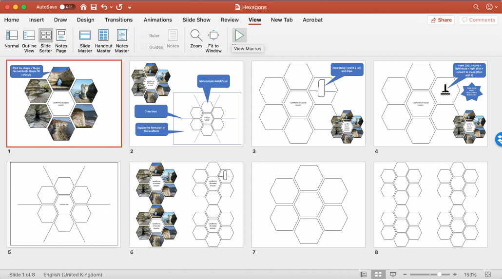
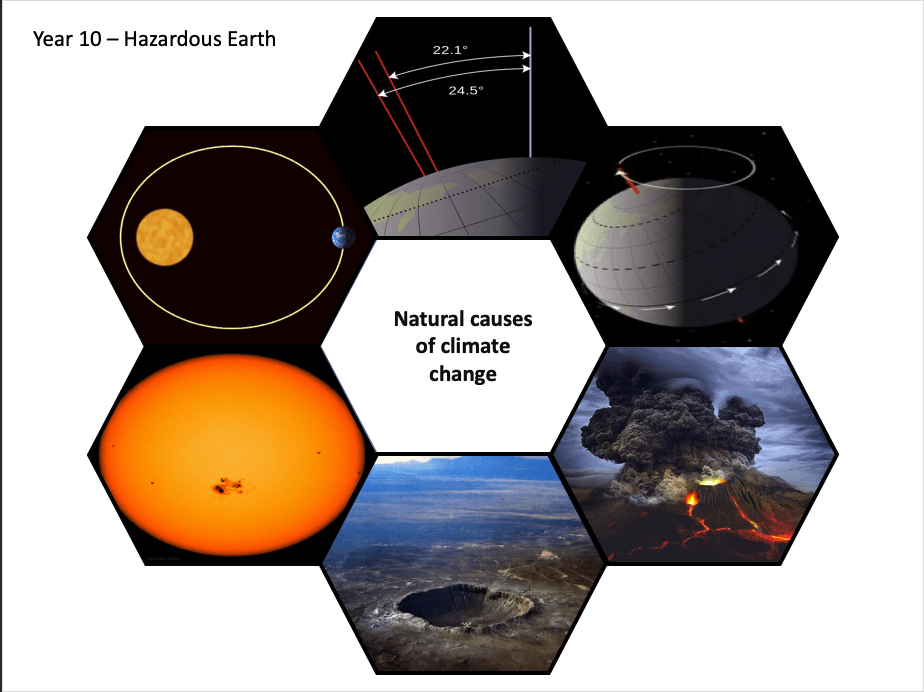
The first step in achieving this might be to introduce the concept of using images to think like a geographer. Modelling how a geographer might use a photograph to consider the geography of a particular location to demonstrate the process through thinking aloud would provide cognitive strategies that students could adopt. Thinking aloud by the teacher will provide students with a way to witness expert thinking, usually hidden from them.
The next step in encouraging students to think like a geographer could be to provide scaffolding and model geographical questions using images.
General question stems, applicable to most geographical photographs, could be introduced to less experienced students of geography. Examples could include:
- What are the main geographic features shown in the picture?
- What are the human features of _____________?
- What are the physical features of ___________?
- How are the physical and human features of __________ linked?
- What are the strengths and weaknesses of _______________?
- How does ________________ affect ________________?
- How does ________________ link to ________________?
- How does the location compare to __________________?
- What processes cause ________________________?
- How would changing ____________________ affect ____________________?
- How is this _________ interdepedent?
- What issues relating to sustainability affect ____________?
- How does __________________ link to what you have studied in geography in the past?
- What do you not understand about _______________________?
- In what way is _____________ related to _______________?
Alternatively, you could use more concrete prompts to encourage students to think like a geographer. Examples include:
- Identify the geographical concepts evident in this image
- Write a sentence/paragraph to reflect what is shown in this image
- Use these words as a prompt to figure out the main geographical issues evident in this image.
- Select two details that elaborate on the main geographical issues in this area and are important to remember
- How might changes in this area have a positive/negative impact?
- Describe and explain the issues of sustainability in this image.
- Explain the potential impact of climate change on this area.
- What are the human and physical processes in this area and how do they interact?
As students become more experienced asking geographical questions, the teacher could then move onto providing students with prompts such as who, what, when where, why and how before removing the scaffolding completely. Of course, this can be done at any time that is appropriate for individual students.
As students are analysing the photograph it is a good opportunity for the teacher to circulate and check and challenge student thinking. Providing hints, prompts, suggestions, and feedback when students encounter difficulties is encouraged at this stage.
Following this, targetted questioning is a useful way to check understanding and address misconceptions that students might have.
Anthony Bennett
Related posts:
Using Images in Geography #1 Identify, classify, rank and justify
Using Images in Geography #2 Scroll it
Further reading
The Use of Scaffolds for Teaching Higher-Level Cognitive Strategies