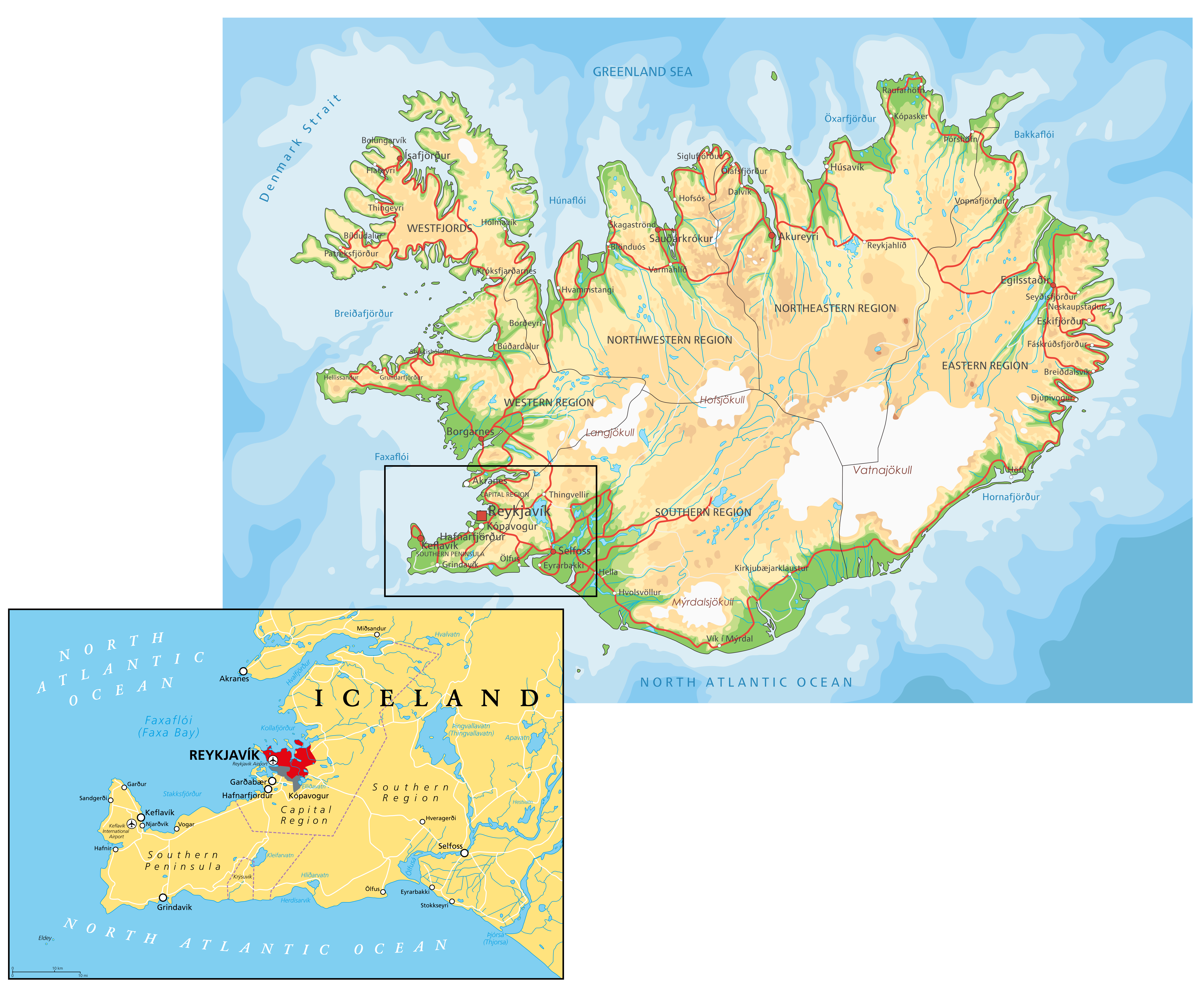
The Reykjanes peninsula in southwest Iceland has recently been a hotbed for seismic activity, stirring up concerns among the local population and geologists. Tens of thousands of earthquakes have been recorded since late October 2023, as magma has moved closer to the Earth’s surface, causing land to uplift and cracks in the surface.
What has been happening and why?
Since October 25, 2023, the Reykjanes Peninsula in southwest Iceland has experienced tens of thousands of earthquakes of various intensities. At least one earthquake exceeded magnitude 5.0, with more than seven topping 4.5.
Scientists believe the cause of this seismic activity is magma moving through the crust. The earthquakes started due to magma collecting at a depth of around 5km below the surface. The movement of magma through the crust towards the surface has continued.
Earthquakes have occurred in linear earthquake swarms, like those shown in the image below.
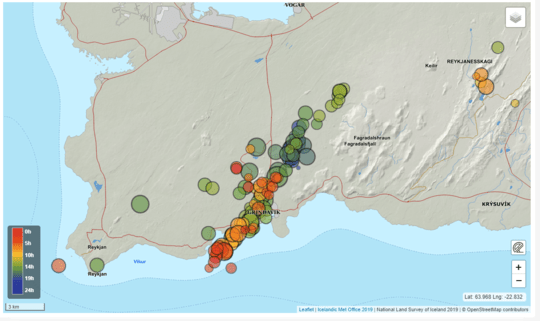
These earthquakes have been caused by the movement of magma up and along a magma-filled crack known as a dike, stretching approximately 14.4 kilometres (nine miles) beneath the peninsula. Seismologists have been tracking these “earthquake swarms” that suggest a growing pressure within the Earth’s crust, signalling a potential volcanic eruption.
There is the potential for a surface eruption to occur anywhere along the dyke.
The underground shift has led to noticeable changes in the landscape, including the formation of cracks, ground swell (uplifting) and depressions (subsidence).
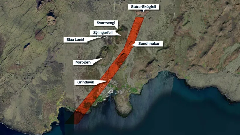
Going Deeper: Ground inflation started in October with the formation of a sill. A sill is a horizontal magma layer which can form between two layers within the crust. Scientists are not sure how the sill has been fed by magma, but if it is like other recent magma movement, the magma is primitive in that it comes from the mantle (rather than being stored in a magma chamber in the lithosphere). As the magma accumulated, it found another weakness: an old fissure system on top of an ancient dyke. The dykes here run along the direction of the rift, which in Iceland is SSW-NNE. Because of the spreading, it is easier for magma to move in this direction through fissures (cracks in the crust). The magma exploited the weakness, rising around 2-3 km and moving sideways over 15 km.
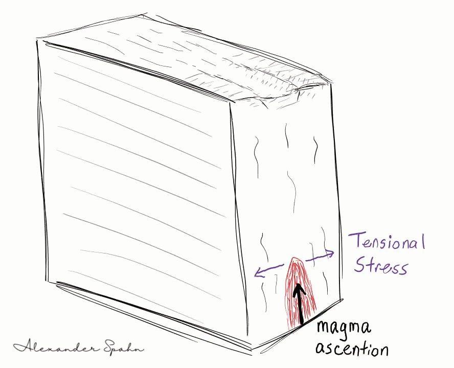
The diagram below, by Alex Spahn, illustrats what is happening.
What might an eruption be like?
Should an eruption occur, it is expected to be ‘effusive,’ meaning it would likely create lava flows rather than explosive ash clouds. This type of eruption can still be highly destructive, potentially covering large areas with lava and releasing gases that could be hazardous to health.
What have been the impacts of tectonic activity?
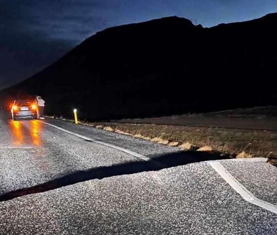
The tectonic activity has had a considerable impact on the area. The coastal town of Grindavík has seen property damage from the quakes as well as damage to infrastructure such as roads and utilities.
What steps have been taken to manage the situation?
The 3,800 residents of Grindavík have been evacuated. The authorities have also declared a state of emergency, and roads to and from the town, located 40 km southwest of Reykjavik, have been closed as a precautionary measure due to heightened tectonic activity.
The Blue Lagoon, located near Grindavik and famed for its geothermal spas and luxury hotels, closed on Thursday, November 9 2023, after an earthquake swarm.
A defence mound is being constructed around the Svartsengi geothermal power plant in an attempt to protect it from potential lava flows. The power plant is one of the most important in Iceland as it provides hot water for the district heating system of the entire Reykjanes Peninsula, including Keflavík, Njarðvík, Vogar, Garður, Sandgerði and Grindavík – more than 21,000 households.
Continuous monitoring of seismic activity and volcanic gases helps to predict and prepare for future events.
Why Does Iceland Experience Tectonic Activity?
Iceland’s tectonic activity is due to its location on the Mid-Atlantic Ridge, where the Eurasian and North American tectonic plates meet and slowly drift apart.
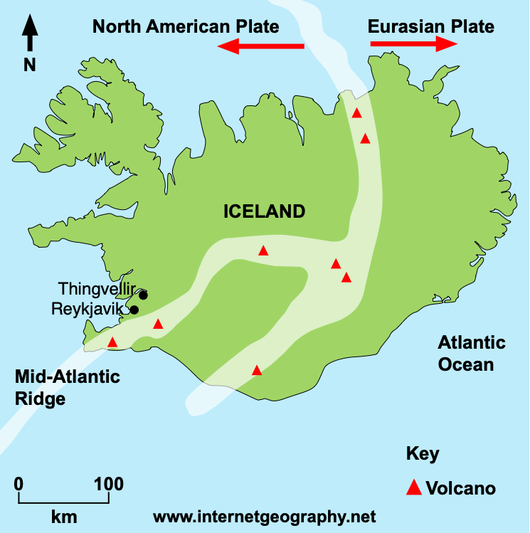
The movement of the tectonic plates is the source of the country’s frequent seismic and volcanic events. This spreading process is not uniform across the country, and periods of inactivity can be followed by renewed volcanic activity. After a long pause, recent years have seen a return of volcanic activity on the Reykjanes peninsula, with the 2021 eruption of Fagradalsfjall.
Will there be an eruption?
Due to the ongoing activity in the Reykjanes peninsula, a volcanic eruption is likely. However, when and where this will happen remains to be seen. There has been a recent decrease in earthquake activity, which typically occurs before an eruption because the magma is close to the surface as there is less tension to trigger large earthquakes.
According to the Icelandic Meteorological Organisation, responsible for monitoring weather and tectonic activity in the country, “the size of the magma intrusion and the rate at which it is moving are several times larger than have been measured previously on the Reykjanes Peninsula. We assess that an eruption, if it were to occur, will originate from the northern side of the magma intrusion. This means there is a greater likelihood of an eruption beginning close to Sundhnjúkagígur.”